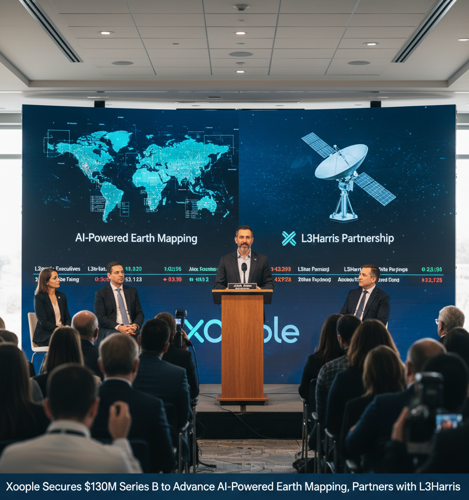
Madrid, Spain – Xoople, a rising star in the geospatial intelligence sector, today announced the successful completion of a highly anticipated Series B funding round, securing an impressive $130 million. This significant capital injection is earmarked to accelerate the company's ambitious roadmap to construct a dynamic, AI-powered digital twin of Earth. Concurrently, Xoople has forged a pivotal strategic partnership with L3Harris, a global aerospace and defense technology innovator, entrusting them with the development and manufacturing of the sophisticated sensor payloads essential for Xoople's forthcoming satellite constellation.
A New Era for Geospatial Intelligence
The funding round underscores a growing investor confidence in the burgeoning market for high-resolution, frequently updated Earth intelligence, critical for diverse applications from environmental monitoring to urban planning and defense. Xoople's distinctive approach leverages artificial intelligence to not only collect vast amounts of geospatial data but also to process, analyze, and render it into actionable insights, differentiating it from traditional satellite imaging companies. The company's vision extends beyond mere imagery, aiming for a living, breathing digital replica of our planet that constantly updates and provides predictive analytics, offering unparalleled situational awareness.
Key Financials and Strategic Alliance Details
Details of the $130 million Series B round indicate strong participation from both new and existing investors. While specific investor names were not immediately disclosed, the magnitude of the funding suggests a broad consortium of venture capital firms and strategic investors recognizing the long-term potential of Xoople's technology. The partnership with L3Harris is particularly crucial. Under the terms of the agreement, L3Harris will design and build advanced optical and synthetic aperture radar (SAR) sensors, optimizing them for Xoople's proprietary data acquisition and AI processing protocols. This collaboration ensures that Xoople's satellite constellation will possess state-of-the-art capabilities for capturing high-fidelity data across various spectral bands and conditions, crucial for building a truly comprehensive digital twin.
Reshaping Industries and Market Dynamics
The implications of Xoople's technological advancements and recent funding are far-reaching. The ability to provide an incessantly updated, AI-interpreted global map has the potential to revolutionize industries. In agriculture, it could optimize crop yields and predict climate impacts; for urban development, it could guide infrastructure planning and resource allocation; and in defense and intelligence, it offers unprecedented real-time surveillance and anomaly detection. This move intensifies competition within the rapidly expanding geospatial imagery and analytics market, currently valued at over $XX billion and projected to grow at a CAGR of XY% by 20XX. Established players like Maxar Technologies and Planet Labs will likely feel increased pressure to innovate and expand their AI capabilities to match Xoople's ambitious trajectory.
Expert Perspectives on Xoople's Trajectory
Industry analysts view Xoople's successful funding and L3Harris partnership as a significant validation of its technology and business model. Dr. Elena Petrova, a leading analyst in satellite technology at Geospatial Insights Group, commented, "Xoople is not just collecting data; they are building an intelligence layer on top of it using cutting-edge AI. The L3Harris collaboration ensures they have the foundational hardware to execute this vision at scale. This positions them as a formidable contender, especially given the increasing demand for real-time, actionable insights over static imagery." Petrova highlighted the potential for Xoople to carve out a niche in critical infrastructure monitoring and climate change adaptation strategies.
The Road Ahead: Satellite Launches and Global Expansion
Looking forward, Xoople plans to use the Series B funds to significantly expand its engineering and AI teams, accelerate the development of its ground segment infrastructure, and prepare for the deployment of its initial satellite constellation. While a specific launch timeline was not provided, the partnership with L3Harris suggests a robust production schedule for the critical sensor components. The company aims for commercial deployment within the next 24-36 months, initially targeting key strategic regions before expanding its global coverage. Further investments in research and development will focus on refining AI algorithms for more sophisticated anomaly detection, predictive modeling, and integration with various user platforms.
Conclusion
Xoople's $130 million Series B and strategic alliance with L3Harris represent a pivotal moment in the evolution of geospatial intelligence. By coupling advanced sensor technology with ambitious AI initiatives, the company is poised to deliver a game-changing digital twin of Earth, promising to redefine how industries and governments understand and interact with our planet. The coming years will undoubtedly see Xoople emerge as a key player in shaping the future of global data and intelligence.